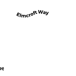
549 ROUTE 6A
Owner Information
NEW ENGLAND TELEPHONE COMPANY
P O BOX 2749
ADDISON, TX 75001


Property Details
549 ROUTE 6A is classified as a Undevelopable Residential Land (Vacant land).
549 ROUTE 6A is valued at $14,200. The land is valued at $14,200 and the structures are valued at $0.
The most recent deed for 549 ROUTE 6A is recorded at the local registrar in Book 926, Page 521. 549 ROUTE 6A was last sold on Thursday, November 17, 1955 for $0.
Assessment data from fiscal year 2022.
Flood Data
This property is partially within the AE Zone (within floodplain). Approximately 0.04 acres (22.9%) of the property is within this zone.
The base flood elevation for this flood zone is 10 feet.
This information is sourced from the FEMA National Flood Hazard Layer. See our full disclamer.
Broadband Internet Providers
| Provider | Type | Bandwidth (mbps) | |
|---|---|---|---|
| VSAT Systems, LLC. | Satellite | 2 | 1 |
| Comcast | Cable | 1000 | 35 |
| Verizon New England Inc. | DSL | 5 | 0 |
| Viasat Inc | Satellite | 35 | 3 |
| HughesNet | Satellite | 25 | 3 |
| GCI Communication Corp. | Satellite | 0 | 0 |
| T-Mobile | Fixed Wireless | 25 | 3 |
Broadband service provider data from December 2020.